Summary
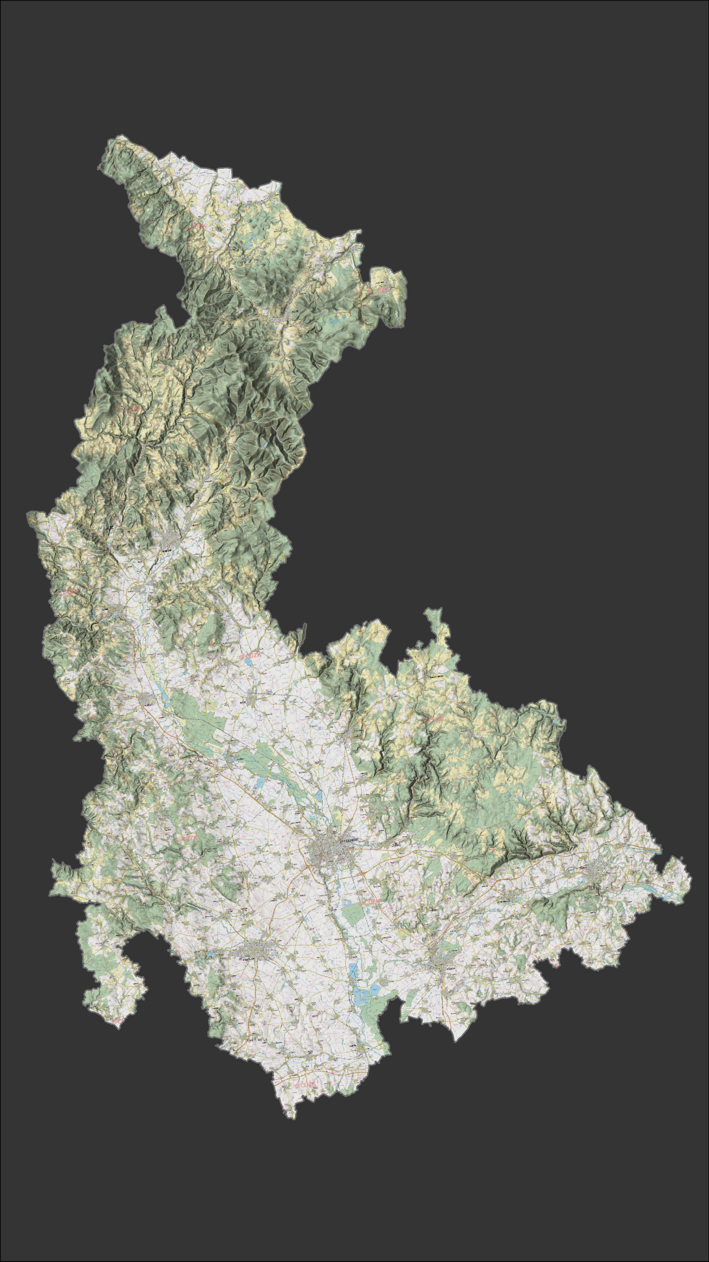
This bachelor’s thesis focuses on the creation of a videomapping projection on a 3D model of the Olomouc Region. The main goal of the project was to create two distinct audiovisual works, with the central motif being a simulation of the extreme floods from September 2024. To effectively reach different target groups, the project utilizes a dual approach: the first video is tailored to the general public, aiming to inspire potential university applicants with a visually captivating "wow effect," while the second, more analytical video is designed for high school geography students. This specialized version focuses on educating the audience about the detailed influence of terrain morphology on meteorological and hydrological phenomena.
The realization of the project required a complex integration of geoinformation and audiovisual technologies with artificial intelligence. Spatial data processing and simplified hydrodynamic flood simulations were conducted in ArcGIS Pro and HEC-RAS software, while voiceovers generated by ElevenLabs artificial intelligence provided dynamic, custom-tailored narration for both target groups. Following post-production in DaVinci Resolve, the resulting image was precisely calibrated onto a physical 66-piece 3D model using MadMapper software. The final installation operates fully autonomously via a video player on a laptop. It thus represents an attractive and tangible educational tool that will be utilized during university open days to demonstrate the practical potential of spatial data analysis.