Award · May 2026
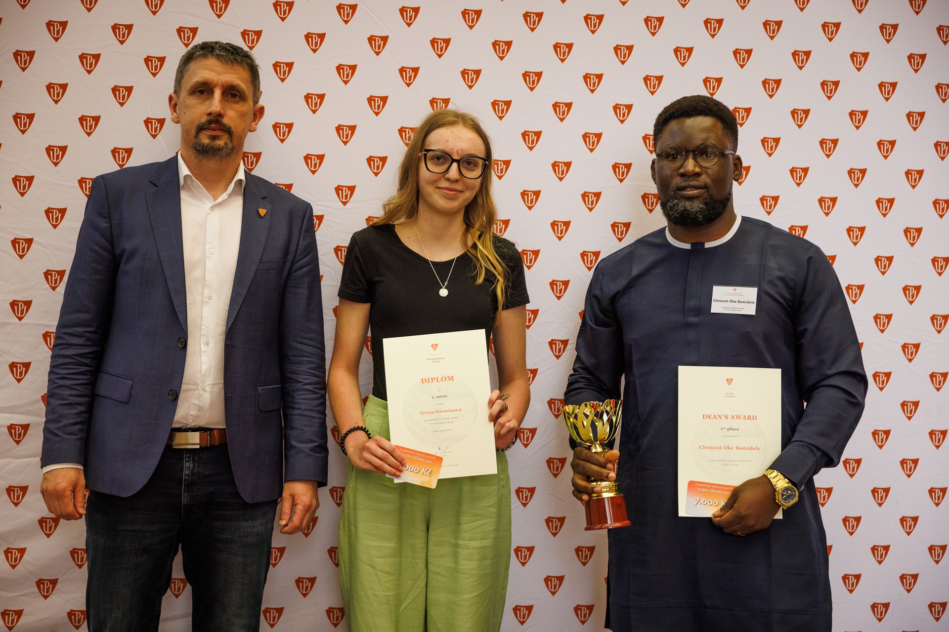
Dean's Award: 1st Place
First place, poster section, Faculty of Science, Palacký University Olomouc (UPOL).
Diploma Thesis · Copernicus Master in Digital Earth
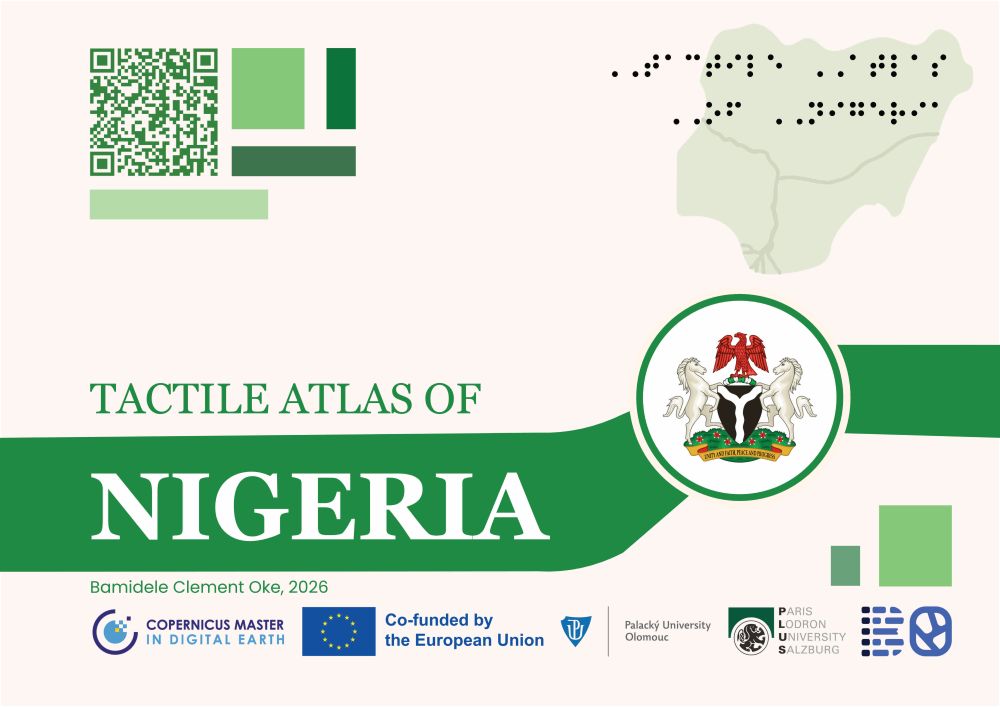
Development of Educational Cartographic Material about Nigeria for Students with Vision Impairment
By Bamidele Clement Oke · Salzburg & Olomouc · July 2026
Maps & charts
Geographic sections
Thematic areas covered
Rounds of user-testing
Overview
Visually impaired students in Nigeria are largely excluded from geography education: a baseline survey found almost no tactile maps in use, against near-universal demand for them. This thesis responds with the maiden Tactile Atlas of Nigeria: 40 microcapsule (swell-paper) maps and charts, co-designed with visually impaired students in Prague and Nigeria.
Geography is visually reliant, and specialised tactile instructional material is nearly absent in Nigerian schools.
A three-tier atlas (World, Africa, Nigeria) built to national-curriculum themes, in braille, tactile texture, and audio.
Every tested student improved their geographic comprehension, validating the atlas as an effective tool.
Institutions
Paris Lodron University Salzburg (PLUS), Dept. of Geoinformatics
Palacký University Olomouc (UPOL), Dept. of Geoinformatics
PLUS Supervisor
Dr. Keskin Merve, Ph.D.
UPOL Supervisor
RNDr. Alena Vondráková, Ph.D., LL.M.
Methodology
Seven stages, run with authoritative Nigerian datasets and refined through two rounds of user testing.
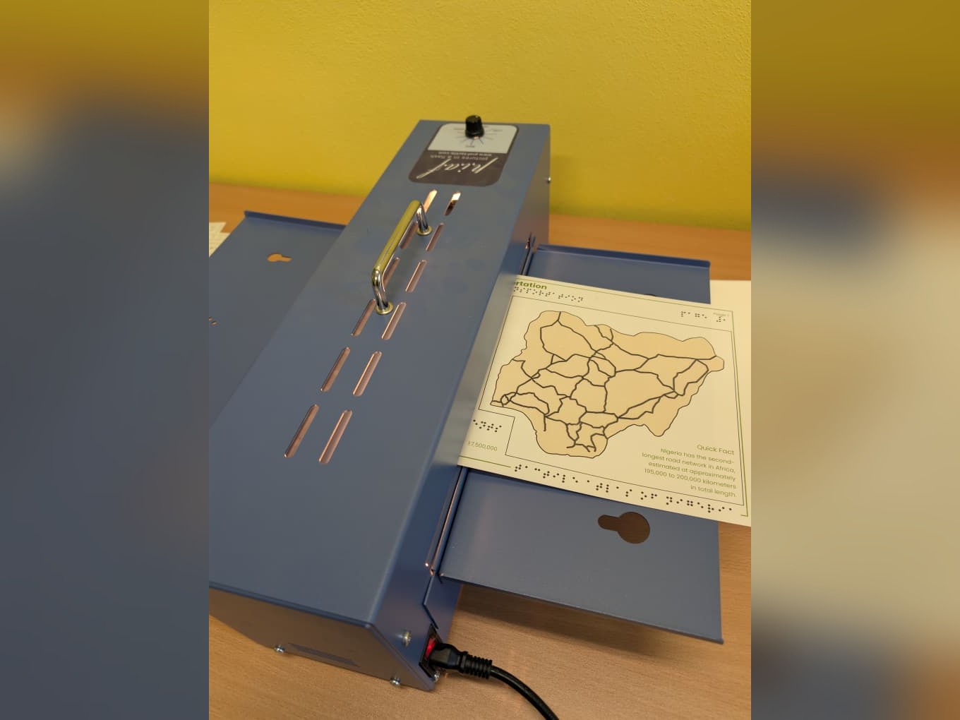
Among the production methods evaluated (thermoforming, Braille embossing, 3D printing, UV printing, and microcapsule/swell-paper printing), microcapsule printing was selected as the atlas's production medium for its affordability, speed, and ease of reproducibility in classroom settings.
User Testing
Each round of testing directly shaped the next round of design.
Phase 1 · Prague
4 students
Tactile parameters isolated and fixed
Phase 2 · Nigeria
11 students
Every participant's score went up
Expert review
2 iterations
Cartography and pedagogy aspects
Results & Discussion
Despite no prior map-reading experience, every tested student improved, and the barriers ahead are systemic, not technical.
71%
of surveyed schools had no tactile maps
92.9%
of students found tactile maps valuable
6 / 10
knowledge-check questions improved after testing
90%+
agreement on positive usability
Showcase
Milestones from sharing this thesis with the wider academic and cartographic community.
First place, poster section, Faculty of Science, Palacký University Olomouc (UPOL).
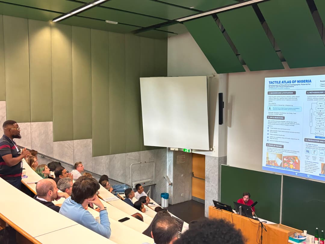
Thesis poster presented at the AGIT Symposium for Applied Geoinformatics.
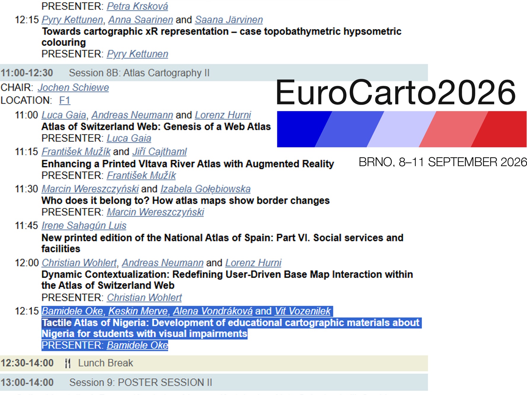
Poster presentation scheduled at the Eurocarto conference.